The People Behind TRIAD
Meet the Team
Our multidisciplinary team brings together decades of experience across geology, mine surveying, geophysics, GIS, and drone technology — united by a shared commitment to precision and results.
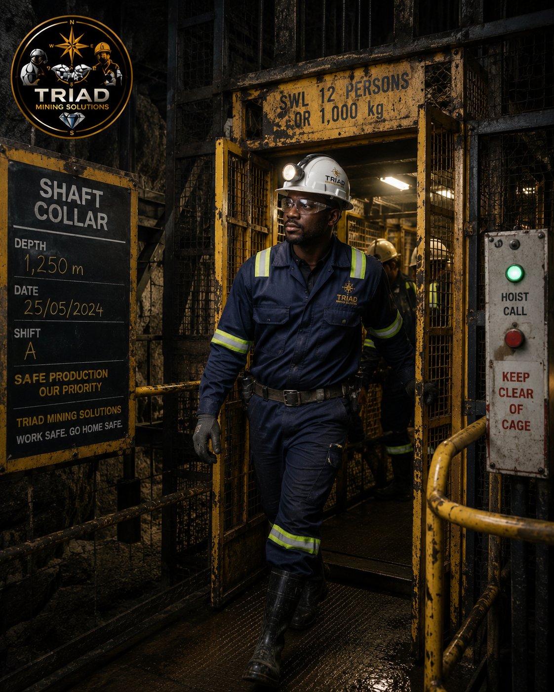
Director · Mining Engineering
Senior mining engineer with extensive experience in underground and open-pit operations across Zimbabwe and Southern Africa. Leads project planning, feasibility studies, and client engagement.
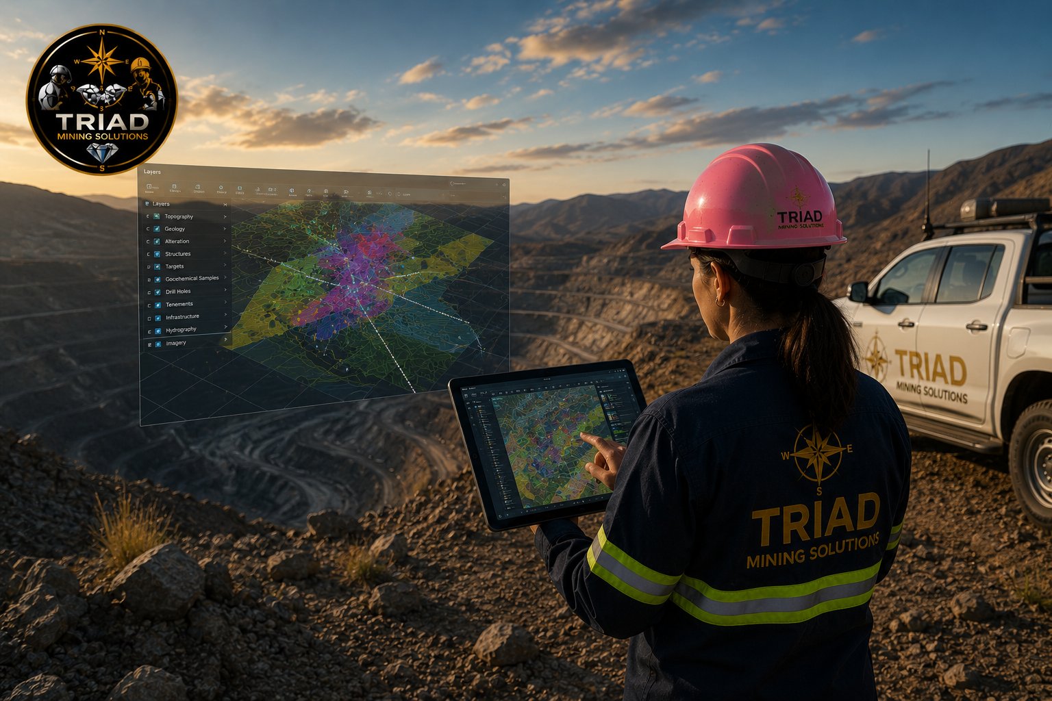
Head of GIS & Remote Sensing
GIS specialist with expertise in spatial analysis, remote sensing, and geospatial database management. Leads the integration of drone data and satellite imagery into mining workflows.
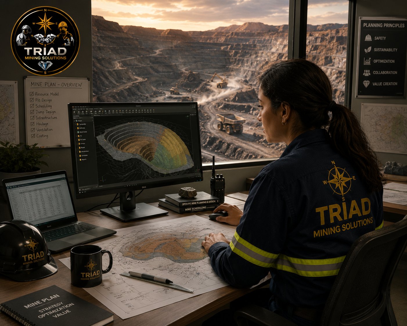
Senior Geologist
Experienced exploration and mine geologist specializing in gold, lithium, and base metals. Delivers resource estimation, geological modelling, and JORC-compliant reporting.
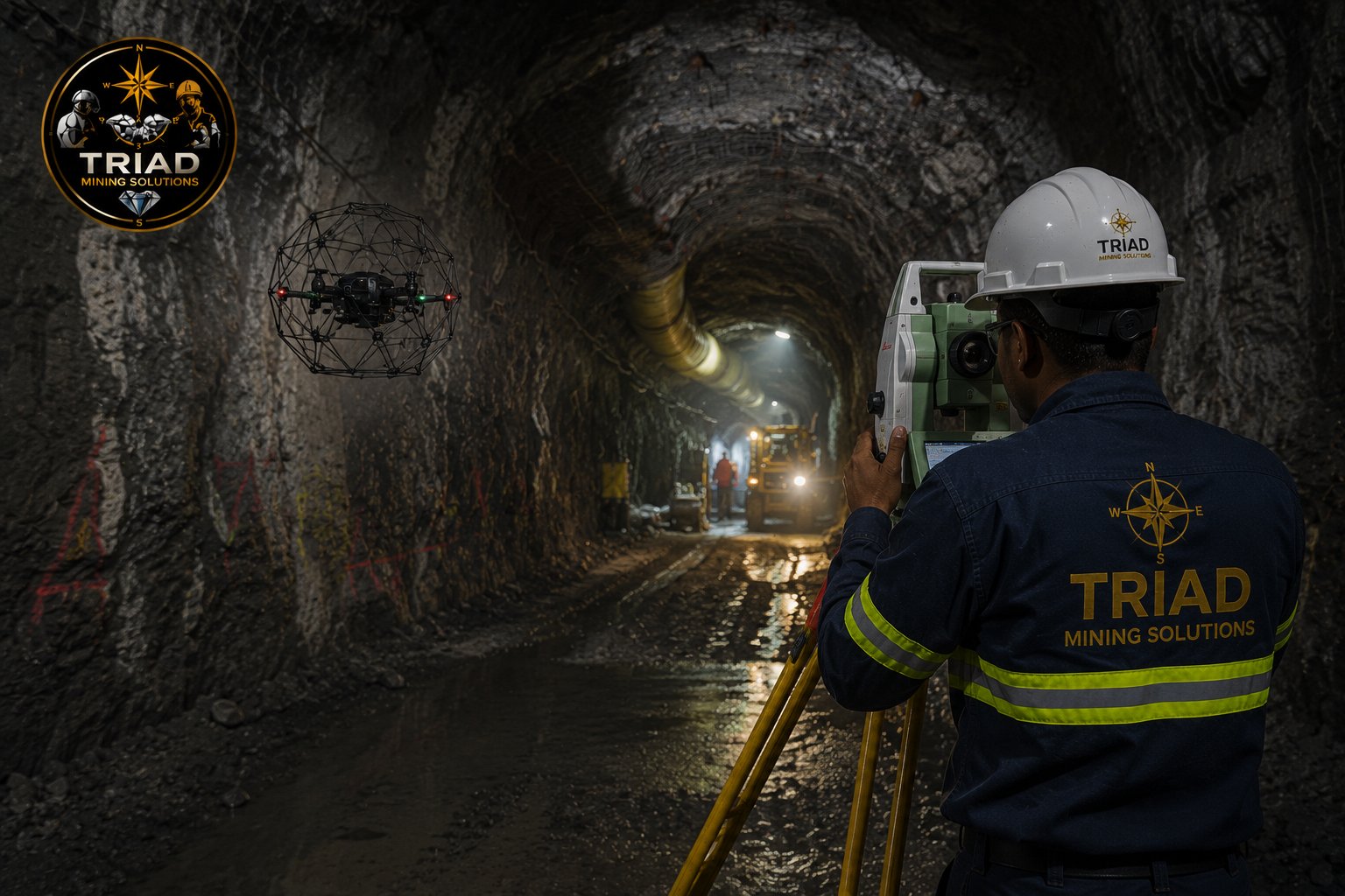
Chief Mine Surveyor
Mine surveyor with deep expertise in surface and underground surveying, digital mine plans, and 3D spatial data management. Certified in total station and GNSS survey operations.
Geophysics Specialist
Applied geophysicist specializing in ground magnetic, IP, and EM surveys. Expert in geophysical data processing, interpretation, and geological target generation for mineral exploration.
UAV Operations Lead
Licensed drone pilot and photogrammetry expert. Manages all UAV survey operations, from flight planning and data capture to orthomosaic generation and 3D terrain modelling.